


VISUALIZE

WITH THE POWER OF
MAPPING

Instant Data Visualization with Zero Coding
Easily transform complex data from Excel or your CRM to generate interactive maps with custom, color-coded pins in seconds.
This allows you to immediately spot geographic trends and make smarter business decisions without waiting on a data analyst.
Learn the Fastest Method
Unparalleled Territory Design
Keep workloads fair for your team, identify hidden opportunities, and prevent reps from stepping on each other’s toes.
Design and balance sales territories using real data like your reps’ workloads, how often customers need visits, and where your highest-paying accounts are located.
Learn More
Deep Spatial Analytics
Don’t just visualize distance. Analyze it!
Leverage advanced distance matrix calculations and custom geometric formulas (some of which don’t even exist in Microsoft Excel®!), turning flat maps into deep analytical engines.
Learn More
Next-Level Geo Intelligence
True insight doesn’t stop at a border. Mapline gives you a clear picture of your entire market by showing you exactly how different territories overlap and influence one another, a level of depth most mapping tools simply can’t provide.
By revealing how these areas connect, you can build smoother, more efficient workflows across your entire business footprint.
Learn More
Advanced Geo-Enriched Data Layers
Seamlessly integrate crucial external variables, including localized demographics, active weather patterns, real-time traffic data, and complex routing constraints, all to drive smarter, data-backed operational decisions.
Learn More
Full-Suite Capabilities Without Forced Upgrades
We don’t “feature gate.”
Every one of our visualization assets is fully included across both the free tier and all of our paid plans, giving you complete access to top-tier geospatial design capabilities without hidden costs.
Learn More
Turn CRMs & Spreadsheets into Actionable Pipelines
Don’t just list your deals; visualize your sales funnel directly on the map to identify massive high-value clusters your team is missing.

Automate Intelligent Field Ops
Automatically assign leads, optimize driver routes based on vehicle capacity, and balance sales territories using live geographic data.

Skip Manual Data Conversions Completely
Instantly layer US Census demographics, ZIP codes, and custom territory boundaries simultaneously to cross-reference target markets in real time.

Slash “Windshield Time” and Skyrocket Profitability
Stop forcing reps and drivers to guess their daily routes; leverage advanced, constraint-aware routing optimization that accounts for real-world traffic, delivery windows, and vehicle capacity to squeeze maximum efficiency out of every trip.
Prevent Costly Turf Wars with Balanced Territories
Keep workloads perfectly fair and eliminate overlapping coverage by auto-generating and balancing sales regions using real-time account data, visit frequencies, and geographic boundaries.

Uncover Hidden Market Opportunities Instantly
Stop launching blind marketing campaigns; overlay rich demographic data layers—like median household income or local business density—directly over your existing customer data to visually spotlight untouched goldmines.

Unify Your Entire Team Around a Single Source of Truth
Eliminate disconnected silos by replacing fractured spreadsheets with a live, visual dispatch and sales CRM that keeps stakeholders, field reps, and back-office logistics perfectly synchronized.

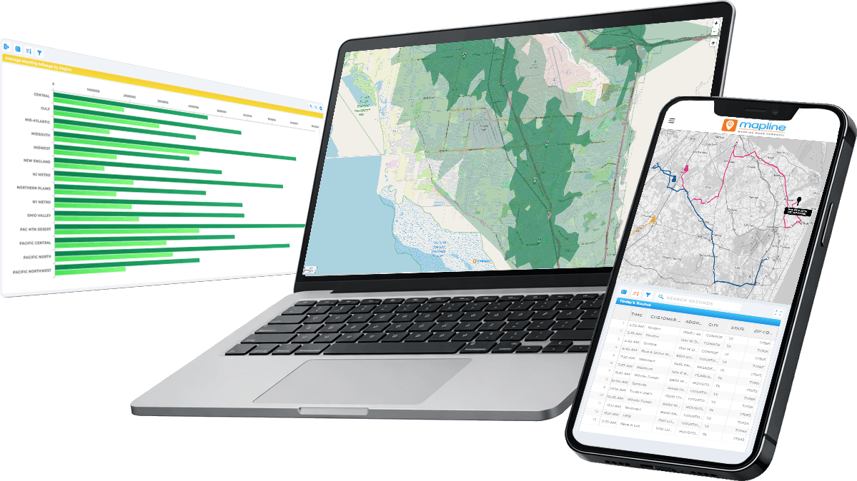
When it comes to geospatial intelligence, you shouldn’t have to compromise or pay for separate add-ons. Mapline delivers the most robust, advanced feature set of any mapping platform on the market. We don’t gate capabilities or force you to rely on external plug-ins. We give you a unified, powerhouse platform where you can build interactive maps with dynamic charts, automated reports, auto-generated territories, advanced constraint-aware routing, mobile data-capture in the field, real-time updates on the fly, and more.
Explore our native toolset below and see why Mapline leaves traditional mapping software in the dust.


Territory Statistics + Reports

Lookup Pins’ Territory Assignments


